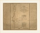
Obra [A Map of the Principal Triangles of the Geodetical Operations of Portugal] Cópia em JPEG Encadernação Digital [A Map of the Principal Triangles of the Geodetical Operations of Portugal] |  Ficha Bibliográfica b2509007 CIERA, Francisco António 1763-1814 [A Map of the Principal Triangles of the Geodetical Operations of Portugal] / [material cartográfico] / F. A. Ciera. - London : A. Arrowsmith 1805. - 1 mapa ; 45x36 cm. UCFCT Observatório Astronómico G.3 |